 |
|||||
 |
Questo libro può essere scaricato con iBooks sul tuo Mac o dispositivo iOS. I libri Multi-touch possono essere letti con iBooks sia su Mac che su iPad. I libri con elementi interattivi funzionano al meglio su un dispositivo iOS. iBooks sul Mac richiede OS X 10.9 o versioni successive. |
||||
 |
|||||
 |
This book is available for download with iBooks on your Mac or iOS device. Multi-touch books can be read with iBooks on your Mac or iOS device. Books with interactive features may work best on an iOS device. iBooks on your Mac requires OS X 10.9 or later. |
||||
 |
|||||
On 51 Stores |
|||||
 |
|||||
 |
Ova knjiga na hrvatskom jeziku trenutno nije dostupna na hrvatskom iBooks dućanu. Dostupna je u 51 dućanu u kojima je omogućeno plaćanje.This book is available for download with iBooks on your Mac or iPad, and with iTunes on your computer. Multi-touch books can be read with iBooks on your Mac or iPad. Books with interactive features may work best on an iPad. iBooks on your Mac requires OS X 10.9 or later. |
||||
 |
|||||
izdavaštvo i grafičko oblikovanje
Denis Lešić
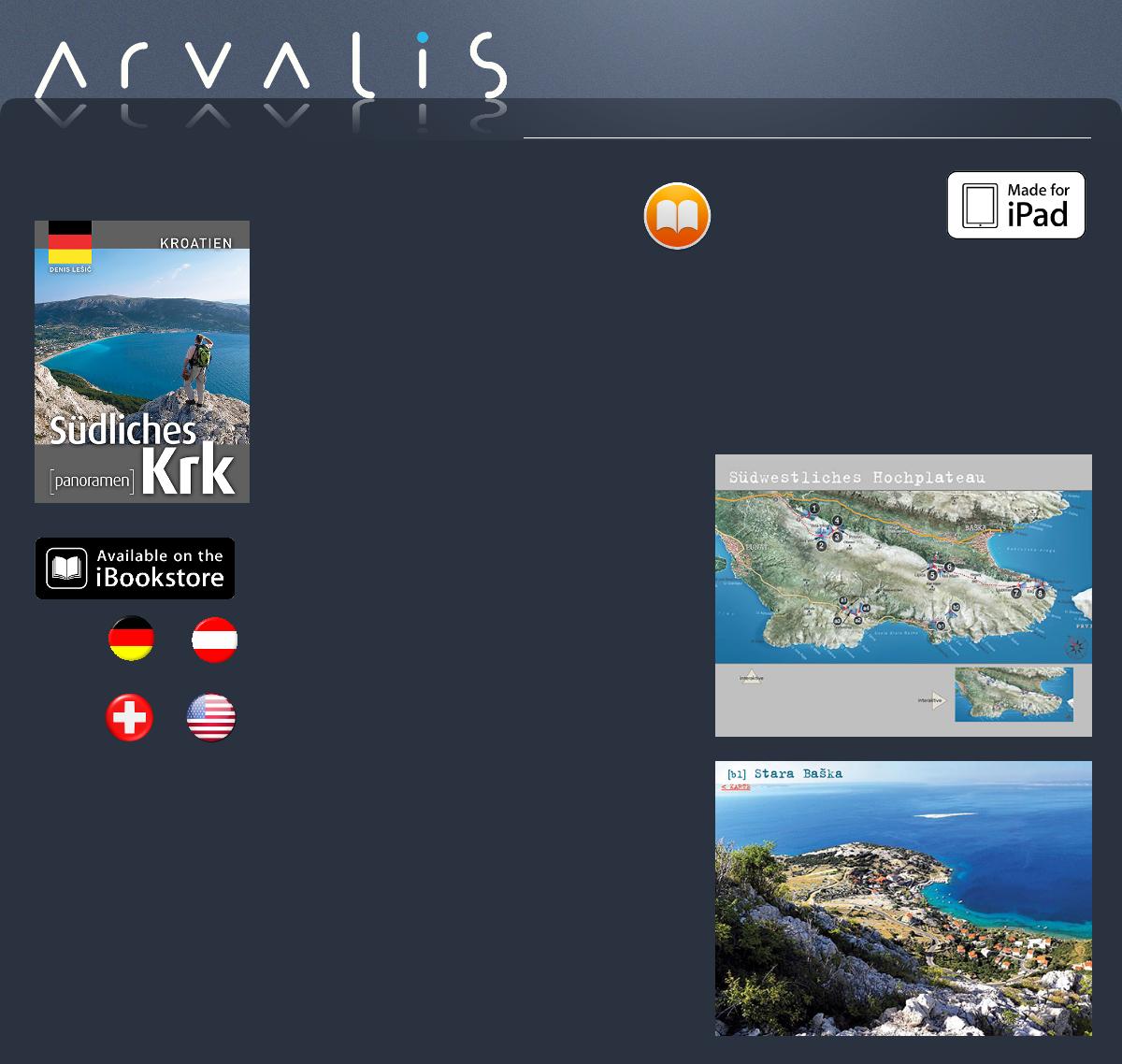
Südliches Krk
[panoramen]
„Südliches Krk“ ist ein geographischer Begriff, der eine besondere Einheit der Insel umfasst. Dieses Gebiet beginnt im Hinterland der Ortschaften Punat und Vrbnik und erstreckt sich über das Hochland und dessen steile Abhänge, die das Baška Tal umschließen, das, neben der Ortschaft Stara Baška, das einzige besiedelte Gebiet in diesem Teil der Insel ist. Auf den ersten Blick scheint das Hochland ein Raum der unberührten und "rauen" Natur zu sein, gekennzeichnet durch die starken Einflüsse des Windes. Ein Raum, der durch menschliche Einflüsse nur leicht berührt ist. Aber auf den zweiten Blick ist es doch eine Kulturlandschaft, die allerdings von vielem Menschlichen durchdrungen ist. Die in dieser Publikation abgebildeten Panoramen sind eine zufällige Auswahl einzelner Standorte, die vielleicht auch als Vorbereitung für eine spätere, ausführlichere Ausgabe betrachtet werden können. Man kann auch sagen, dass dies eine Ergänzung zu den Ausflugskarten ist, die die Tourismusverbände von Punat und Baška herausgeben. Eine Ergänzung, die Sie dazu „verführen“ versucht, selbst auch den Drang zu verspüren, dieses Gebiet oder zumindest einen Teil davon zu erkunden.
Denis Lešić
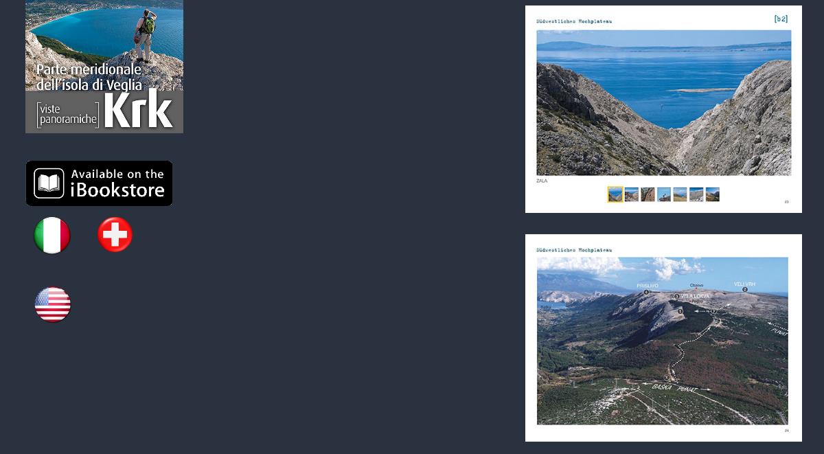
Parte meridionale dell’isola di Veglia
[viste panoramiche]
La parte meridionale dell’isola di Veglia è un’area geografica che comprende una zona speciale dell’isola. Quest’area inizia nell’entroterra di Punat (Ponte) e Vrbnik (Verbenico) e si estende sugli altopiani e sui pendii ripidi che circondano la valle di Baška (Besca), oltre Stara Baška (Besca Vecchia), unica area insediata di questa parte dell’isola. A prima vista, gli altopiani sono contraddistinti da una natura quasi intatta e “selvaggia”, risultato della forte attività del vento. L’ambiente è quasi intatto e non risulta intaccato dall’attività umana. Tuttavia, se lo si osserva con maggior attenzione è un ambiente permeato dagli interventi umani. Le fotografie riportate in questa pubblicazione sono correlate a una scelta casuale di singole località o forse anticipano un’edizione atta a sviscerare al meglio quanto qui accennato. Si può asserire che quello che troviamo in questa pubblicazione va a supportare le mappe escursionistiche rilasciate dagli enti turistici del comune di Punat e di Baška. Un supplemento che cerca di “sedurvi” e, al contempo, farvi sentire la necessità di essere testimoni di quest'area o almeno di alcune delle sue parti.
Denis Lešić
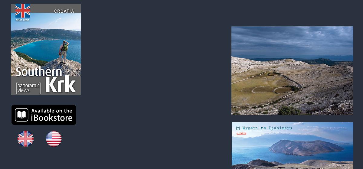
Southern Krk
[panoramic views]